Gear & Adventure logoGear & Adventure
Credits

Photo credits

Trip photos from our own groups are Gear & Adventure’s. The landscape photographs below are used under Creative Commons licences; each was resized for the web.

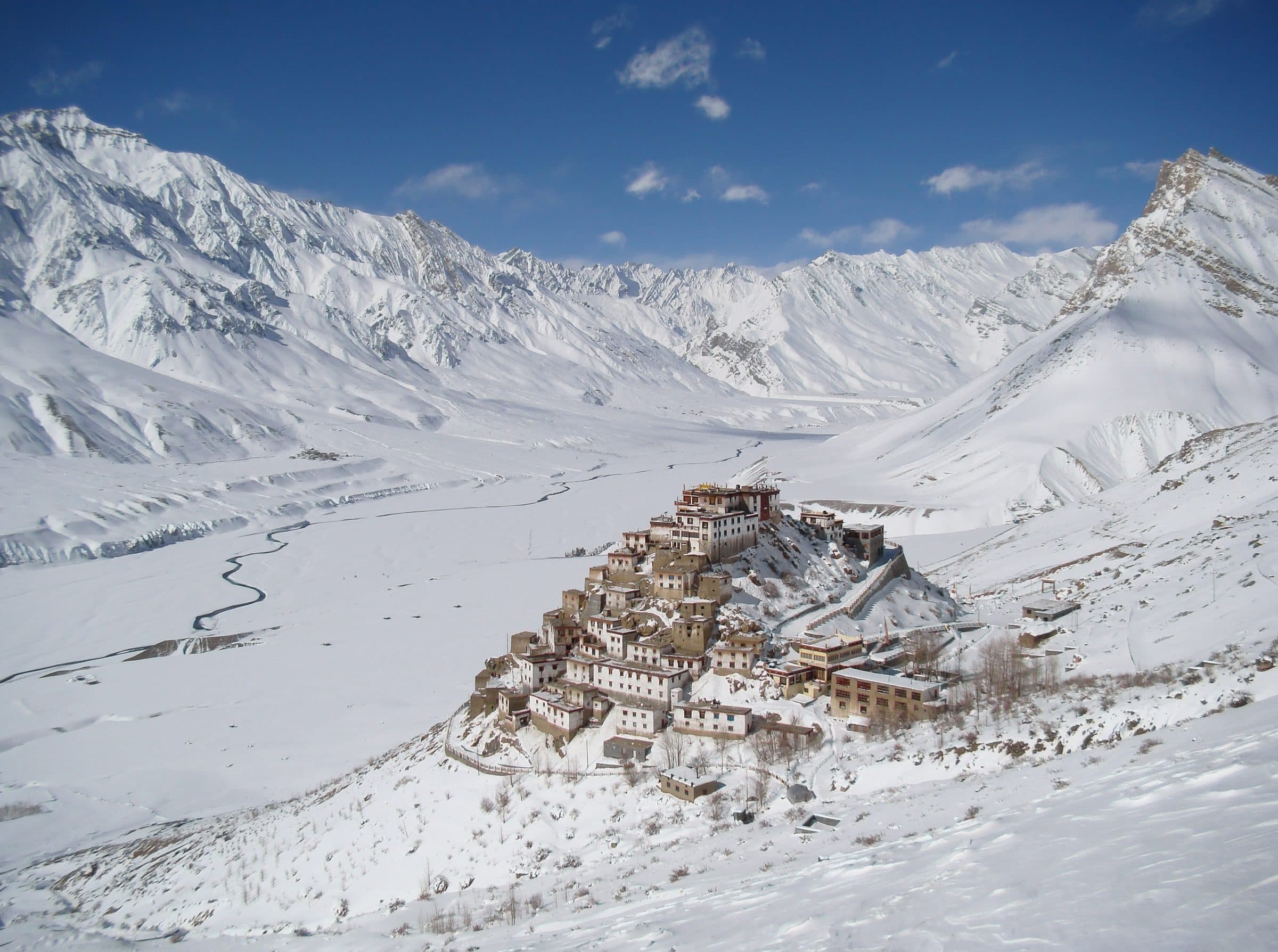
  • Key Monastery in winter, Spiti
    Key Monastery in winter, Spiti
    Photo: Original by Kulbhushan Singh Suryawanshi, edited by Aristeas

    CC BY-SA 4.0 · Source · Resized and recompressed for the web
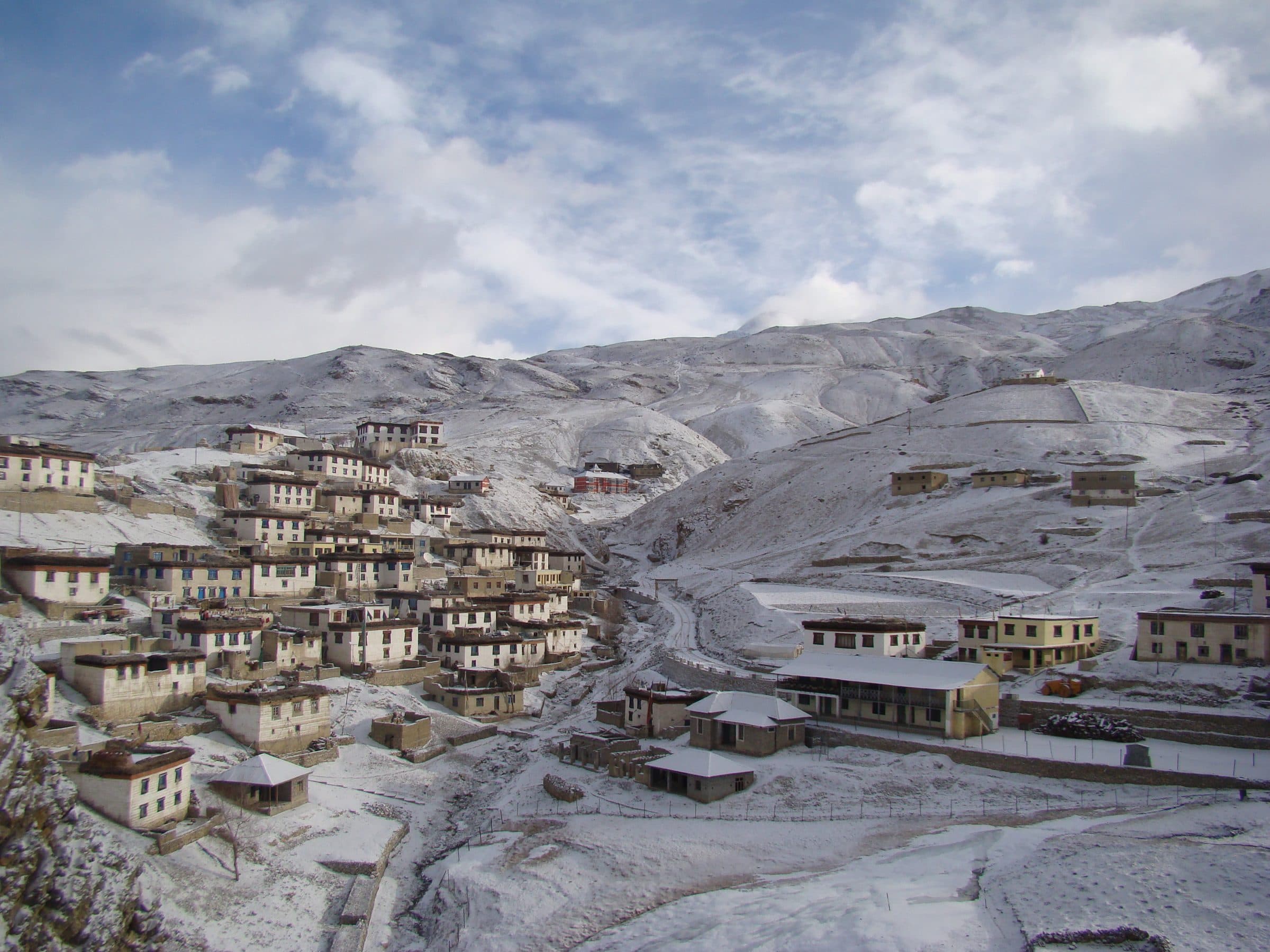
  • Kibber village in winter, Spiti
    Kibber village in winter, Spiti
    Photo: Ksuryawanshi
    CC BY-SA 4.0 · Source · Resized and recompressed for the web
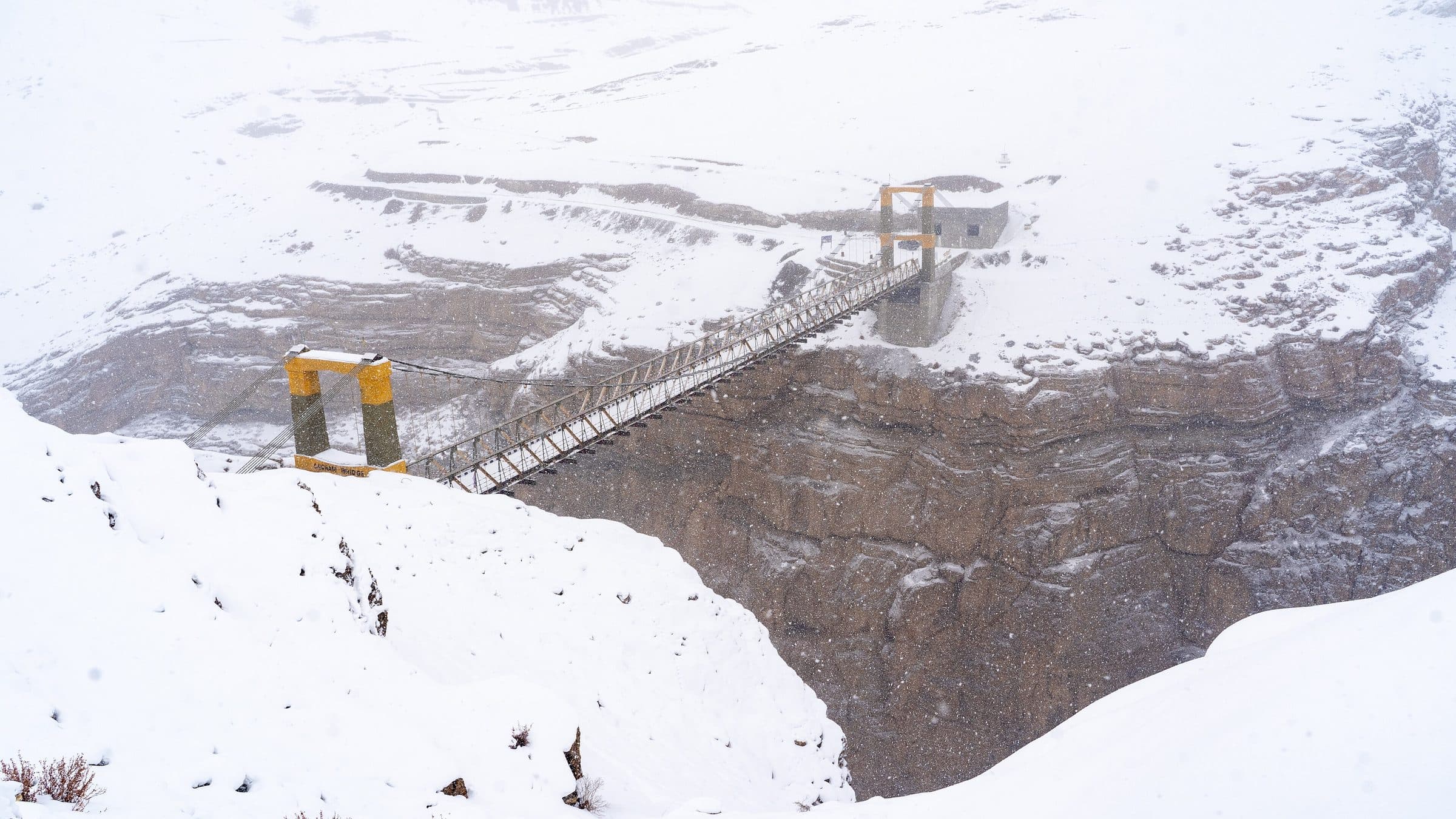
  • Chicham bridge in snow, Spiti
    Chicham bridge in snow, Spiti
    Photo: Kandukuru Nagarjun from Bangalore, India
    CC BY 2.0 · Source · Resized and recompressed for the web
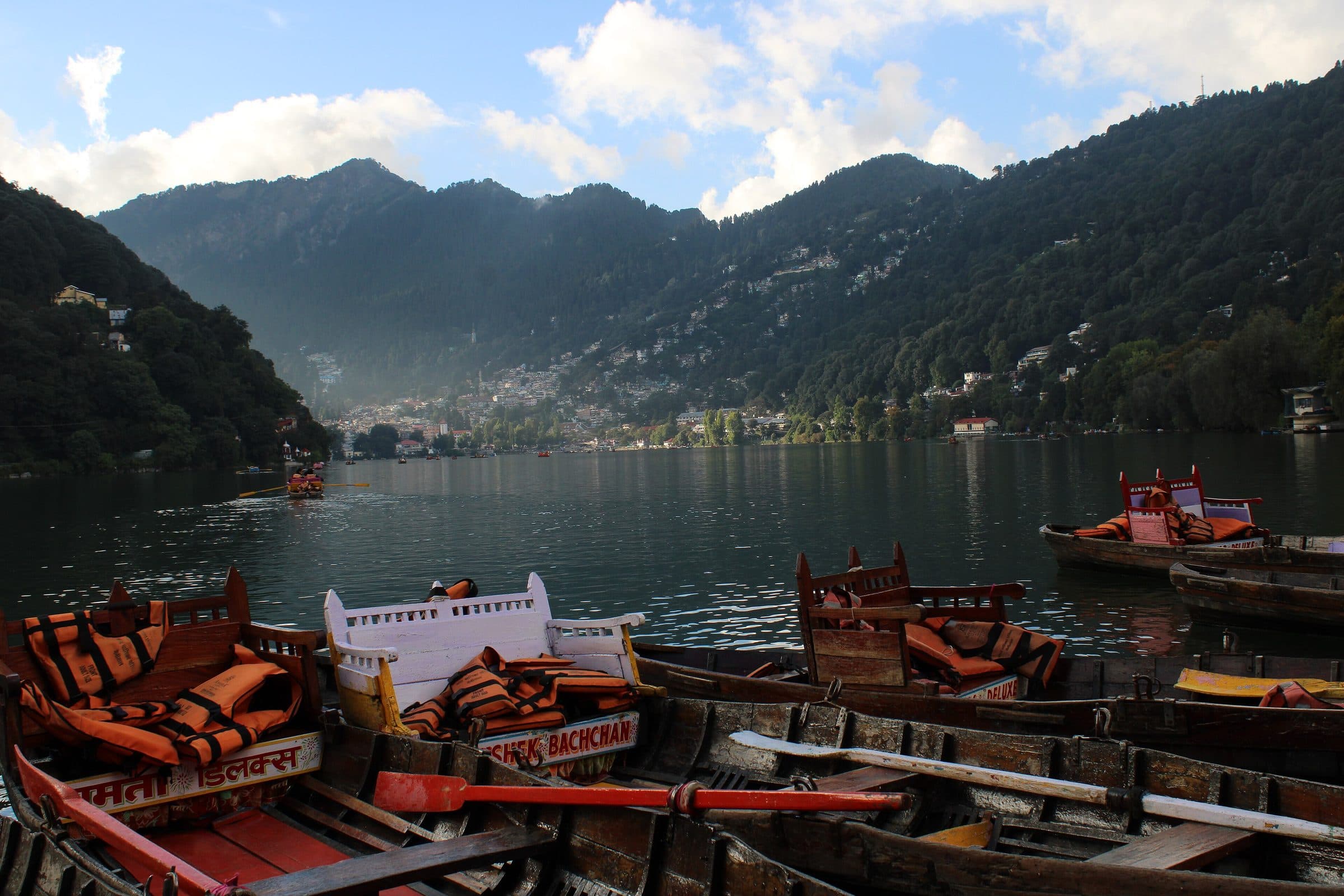
  • Naini Lake, Nainital
    Naini Lake, Nainital
    Photo: Praveen Singh Bisht
    CC BY 2.0 · Source · Resized and recompressed for the web
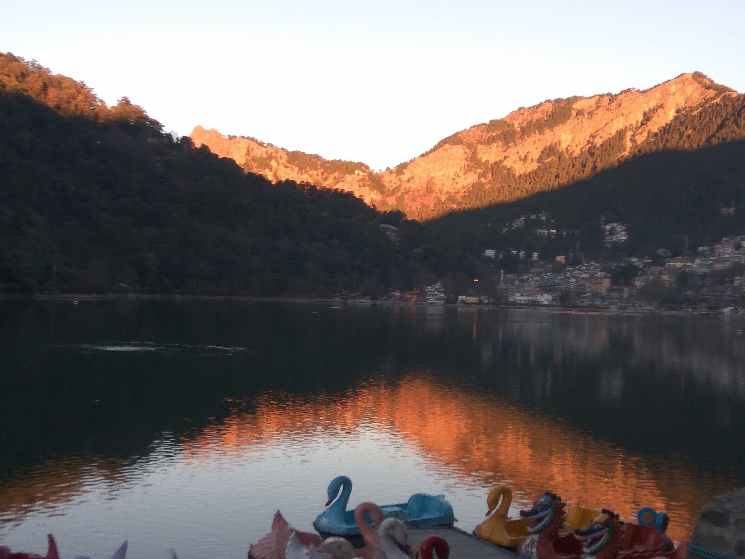
  • Sunrise over Naini Lake
    Sunrise over Naini Lake
    Photo: Jainvaibhav1307
    CC BY-SA 4.0 · Source · Resized and recompressed for the web
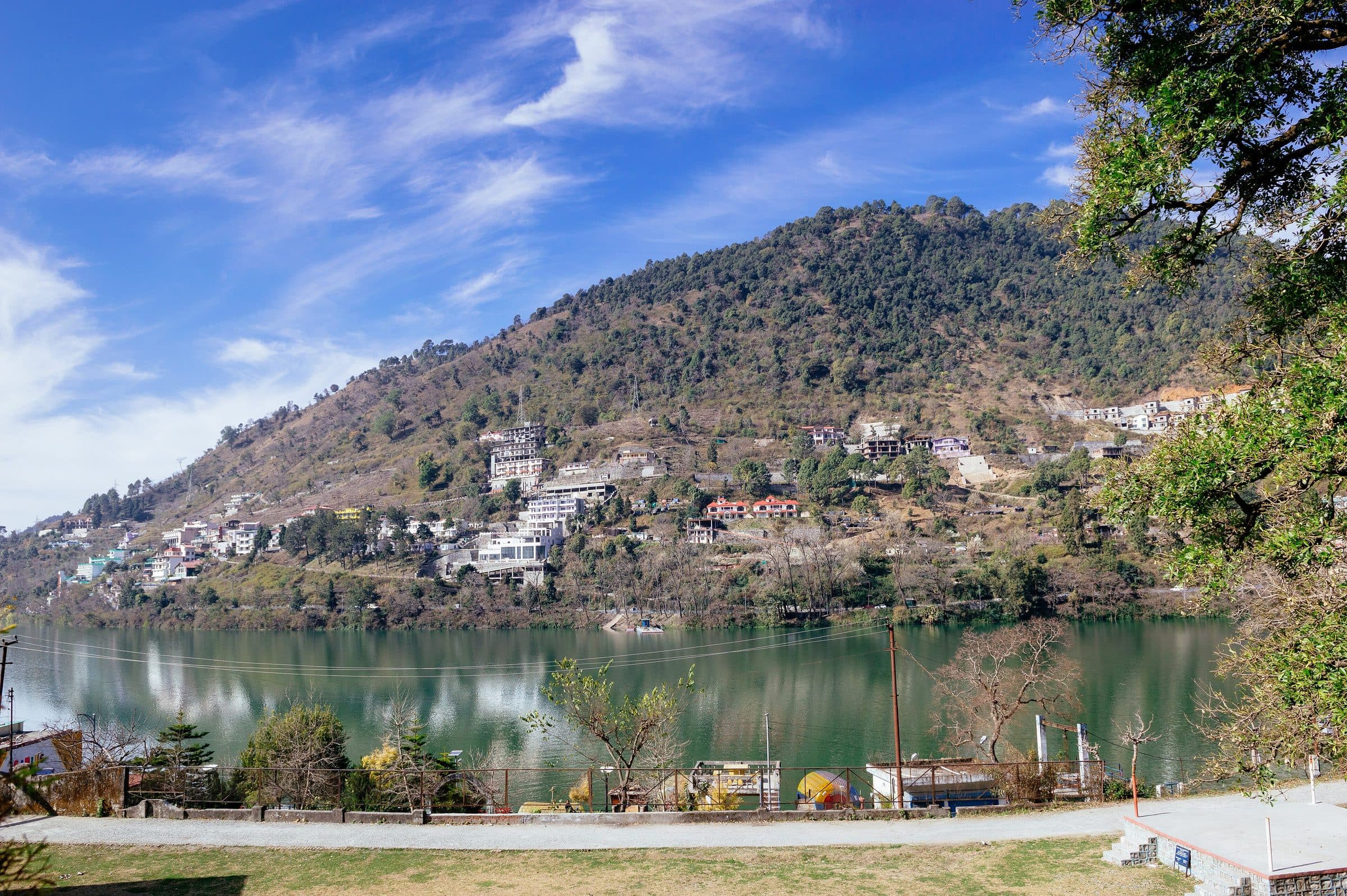
  • Bhimtal lake
    Bhimtal lake
    Photo: Subhrajyoti07
    CC BY-SA 4.0 · Source · Resized and recompressed for the web
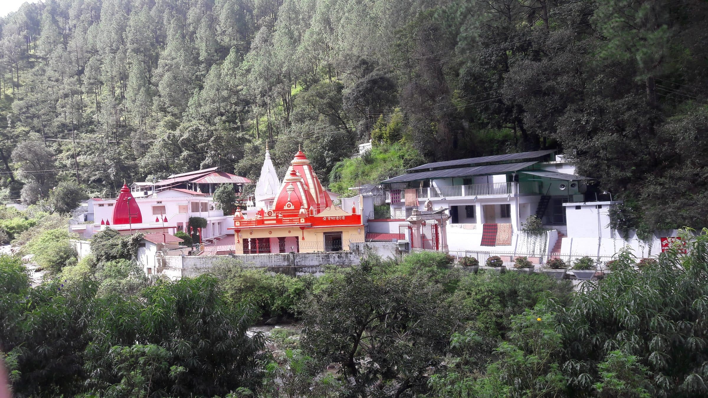
  • Kainchi Dham on the Kosi river
    Kainchi Dham on the Kosi river
    Photo: Lalit.bhandari86
    CC BY-SA 4.0 · Source · Resized and recompressed for the web
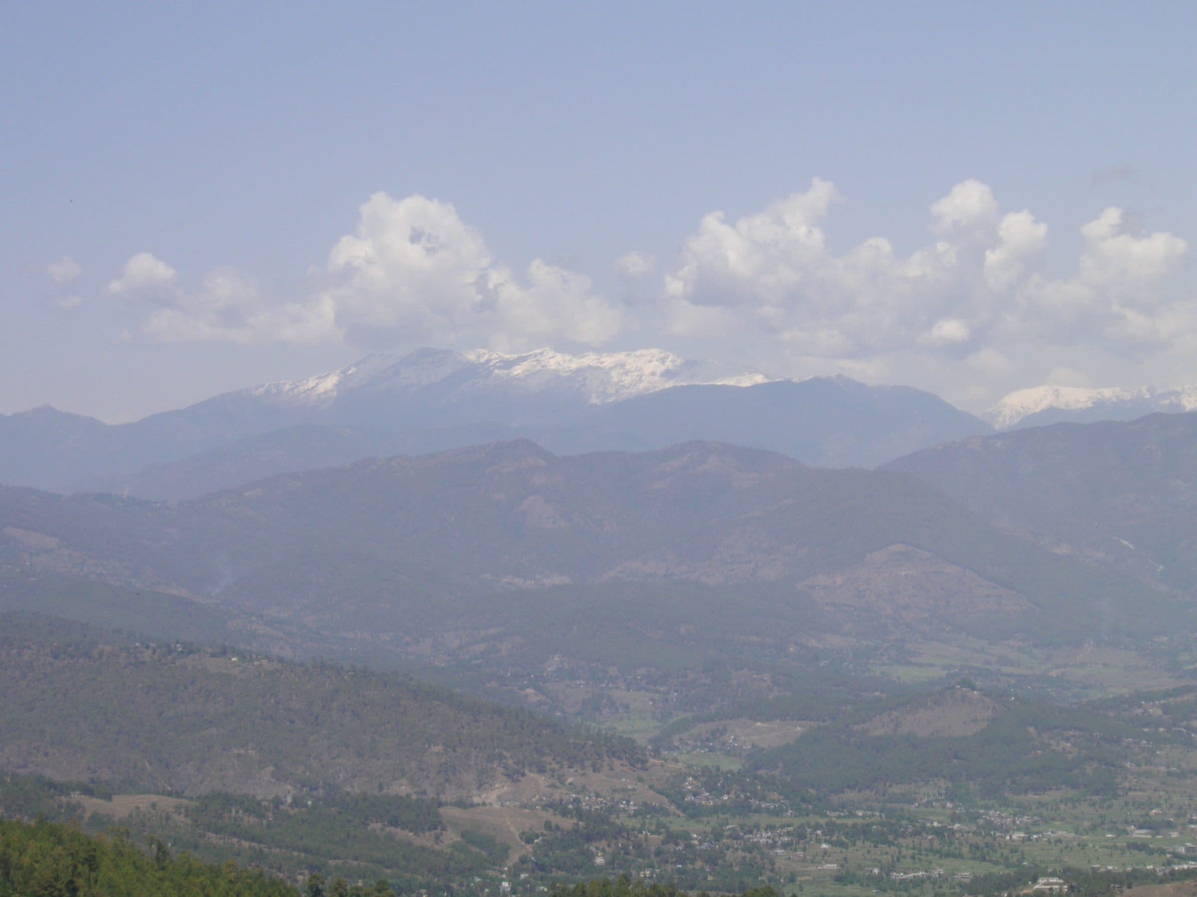
  • The Himalaya from Mukteshwar
    The Himalaya from Mukteshwar
    Photo: Navya6238
    CC BY-SA 4.0 · Source · Resized and recompressed for the web
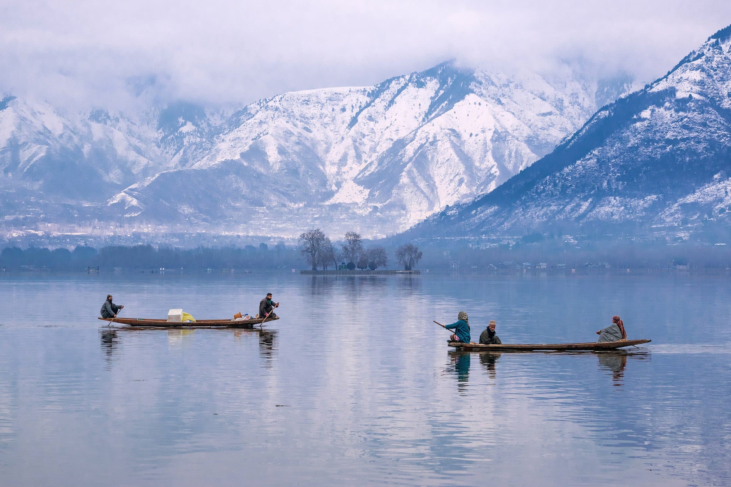
  • Dal Lake at Hazratbal, Srinagar
    Dal Lake at Hazratbal, Srinagar
    Photo: Suhail Skindar Sofi
    CC BY-SA 4.0 · Source · Resized and recompressed for the web
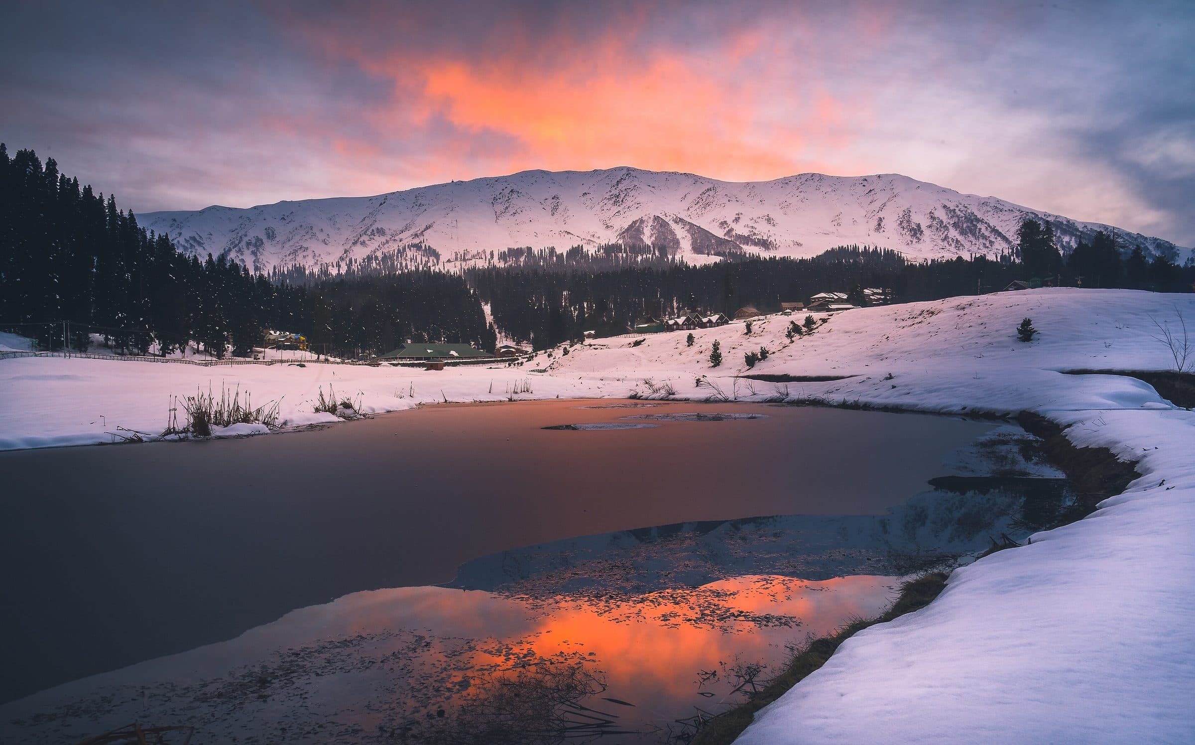
  • Apharwat peak over Gulmarg in winter
    Apharwat peak over Gulmarg in winter
    Photo: Rajarshi MITRA from Mumbai, India
    CC BY 2.0 · Source · Resized and recompressed for the web
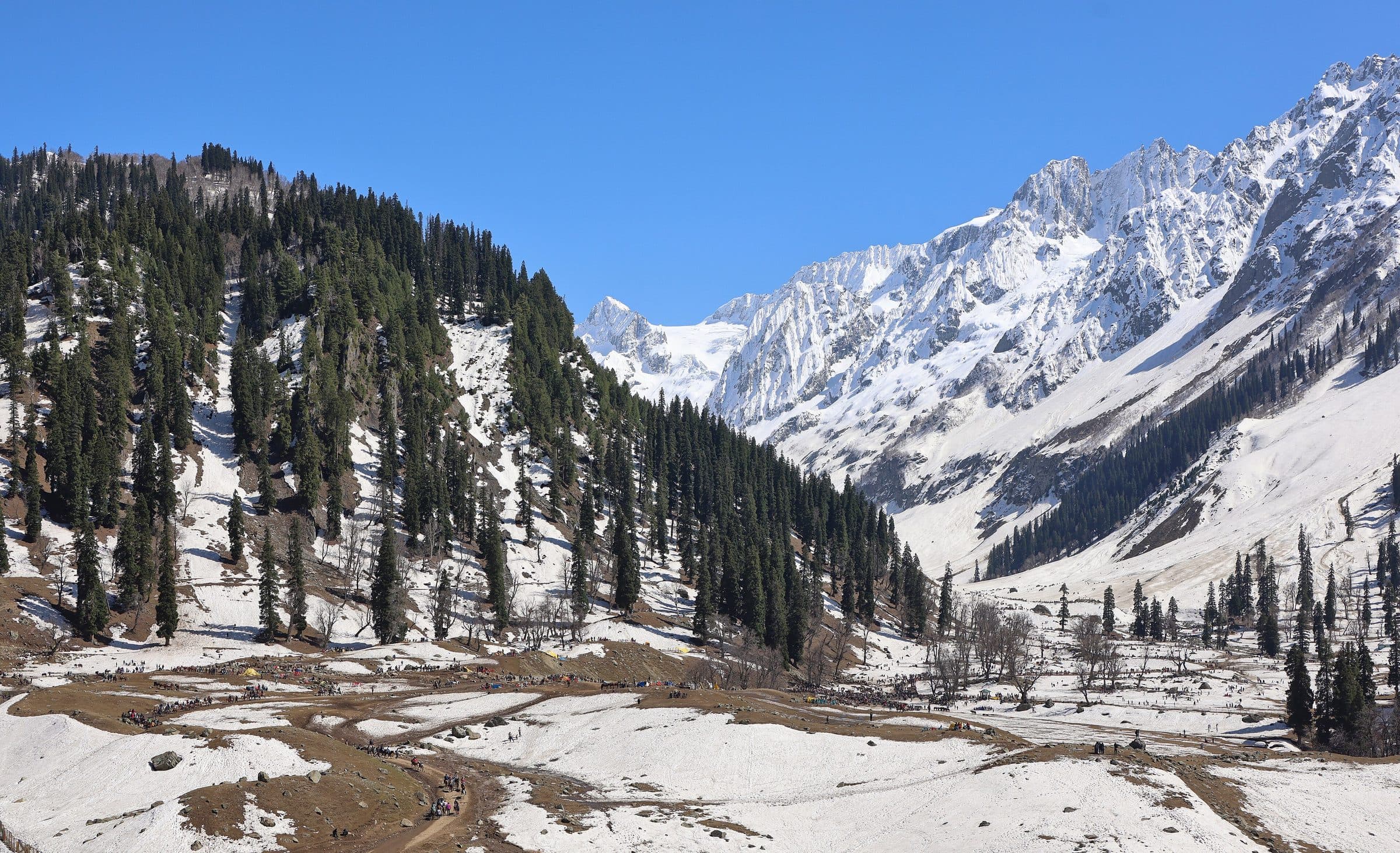
  • Thajiwas, Sonamarg
    Thajiwas, Sonamarg
    Photo: Original by Ganesh Mohan T, edited by UnpetitproleX
    CC BY 4.0 · Source · Resized and recompressed for the web
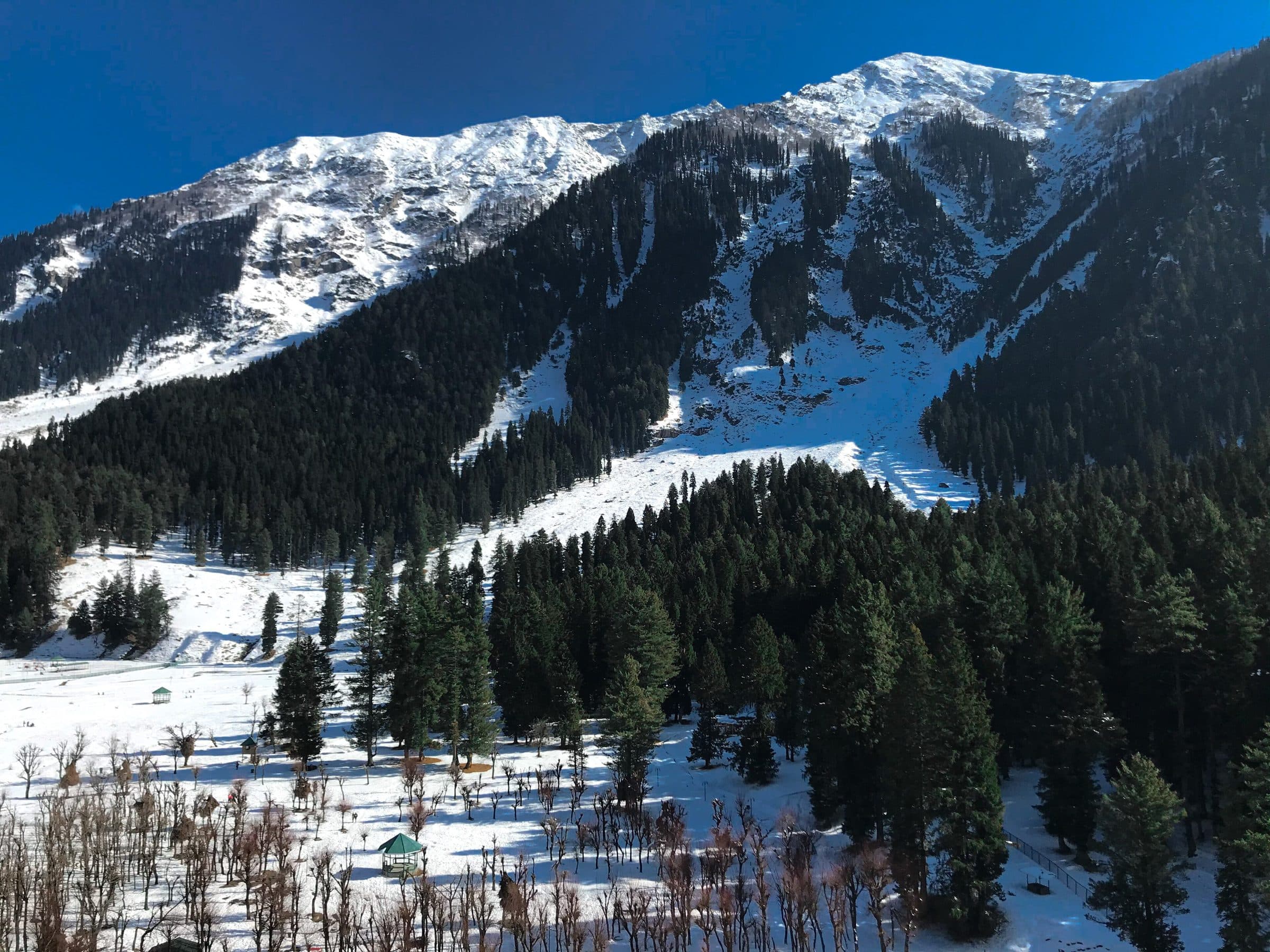
  • Betaab valley under snow, Pahalgam
    Betaab valley under snow, Pahalgam
    Photo: Hums4r
    CC BY-SA 4.0 · Source · Resized and recompressed for the web
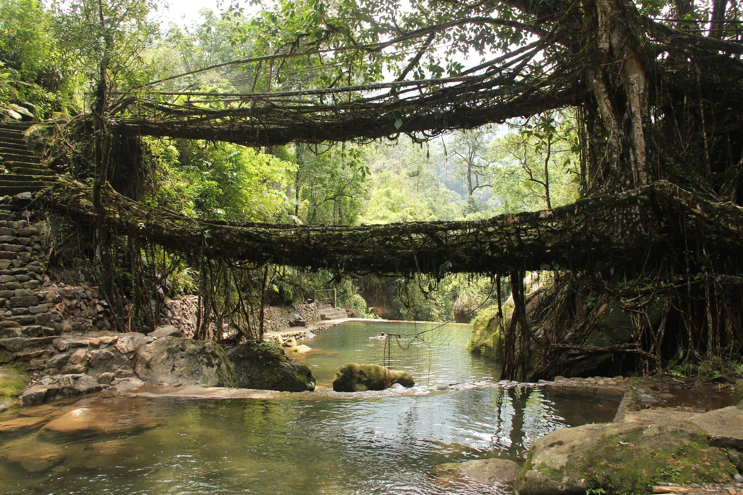
  • Double-decker living root bridge, Nongriat
    Double-decker living root bridge, Nongriat
    Photo: Arshiya Urveeja Bose
    CC BY 2.0 · Source · Resized and recompressed for the web
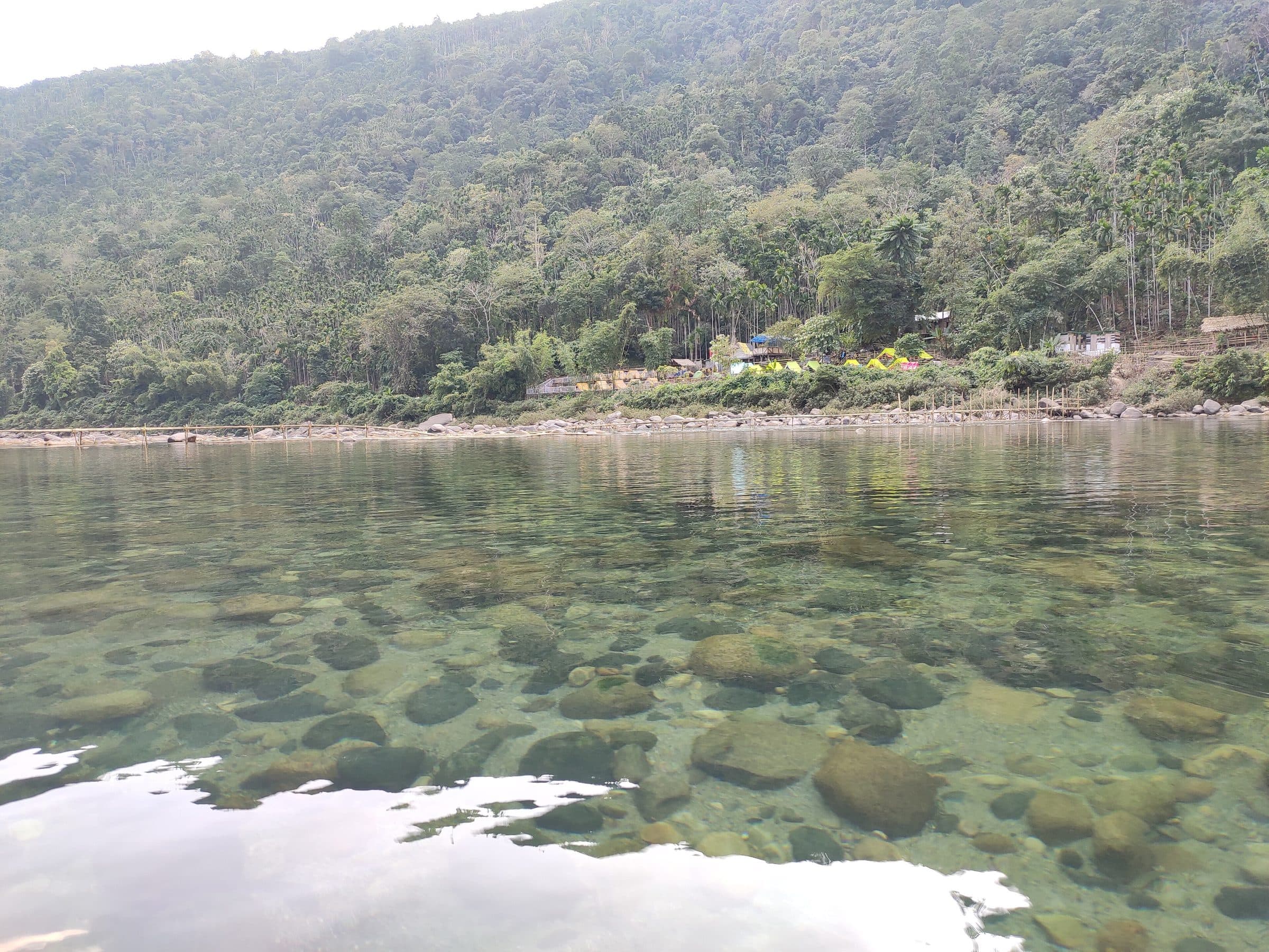
  • The clear Umngot river at Dawki
    The clear Umngot river at Dawki
    Photo: ANKAN
    CC BY-SA 4.0 · Source · Resized and recompressed for the web
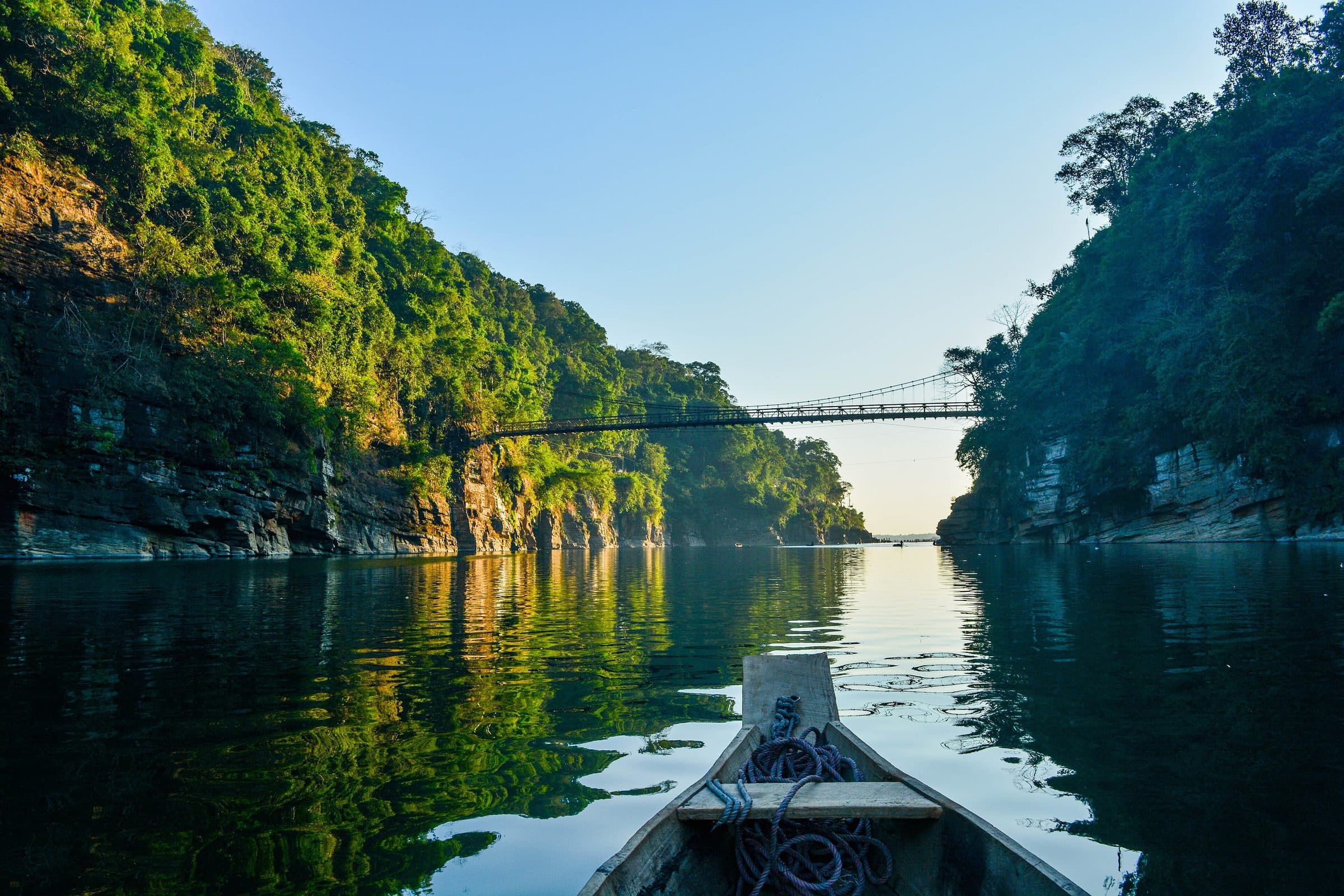
  • A boat on the Umngot at Dawki
    A boat on the Umngot at Dawki
    Photo: Madhumita Das
    CC BY-SA 4.0 · Source · Resized and recompressed for the web
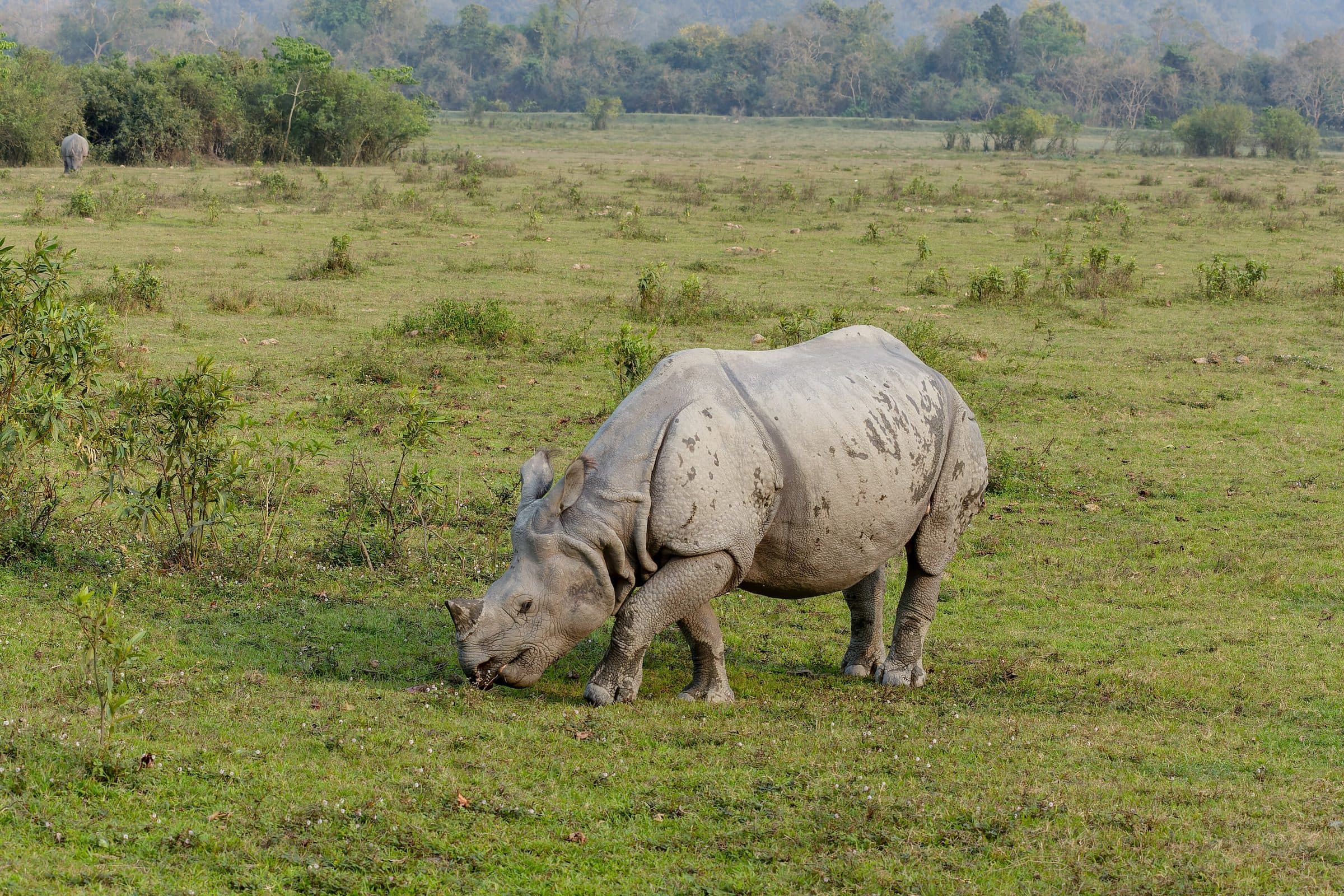
  • One-horned rhino, Kaziranga
    One-horned rhino, Kaziranga
    Photo: Tisha Mukherjee
    CC BY-SA 4.0 · Source · Resized and recompressed for the web
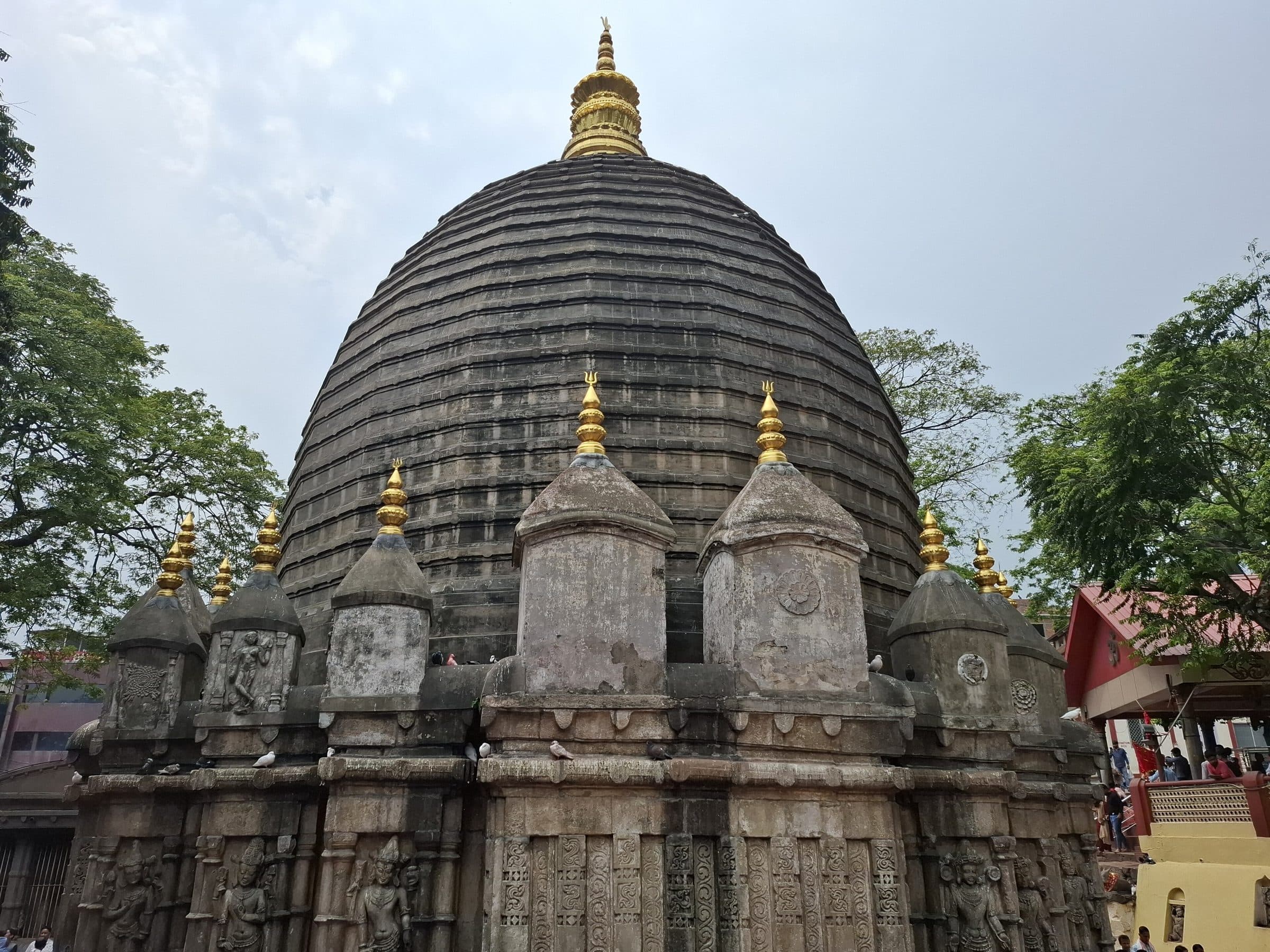
  • Kamakhya temple, Guwahati
    Kamakhya temple, Guwahati
    Photo: Pinakpani
    CC BY 4.0 · Source · Resized and recompressed for the web
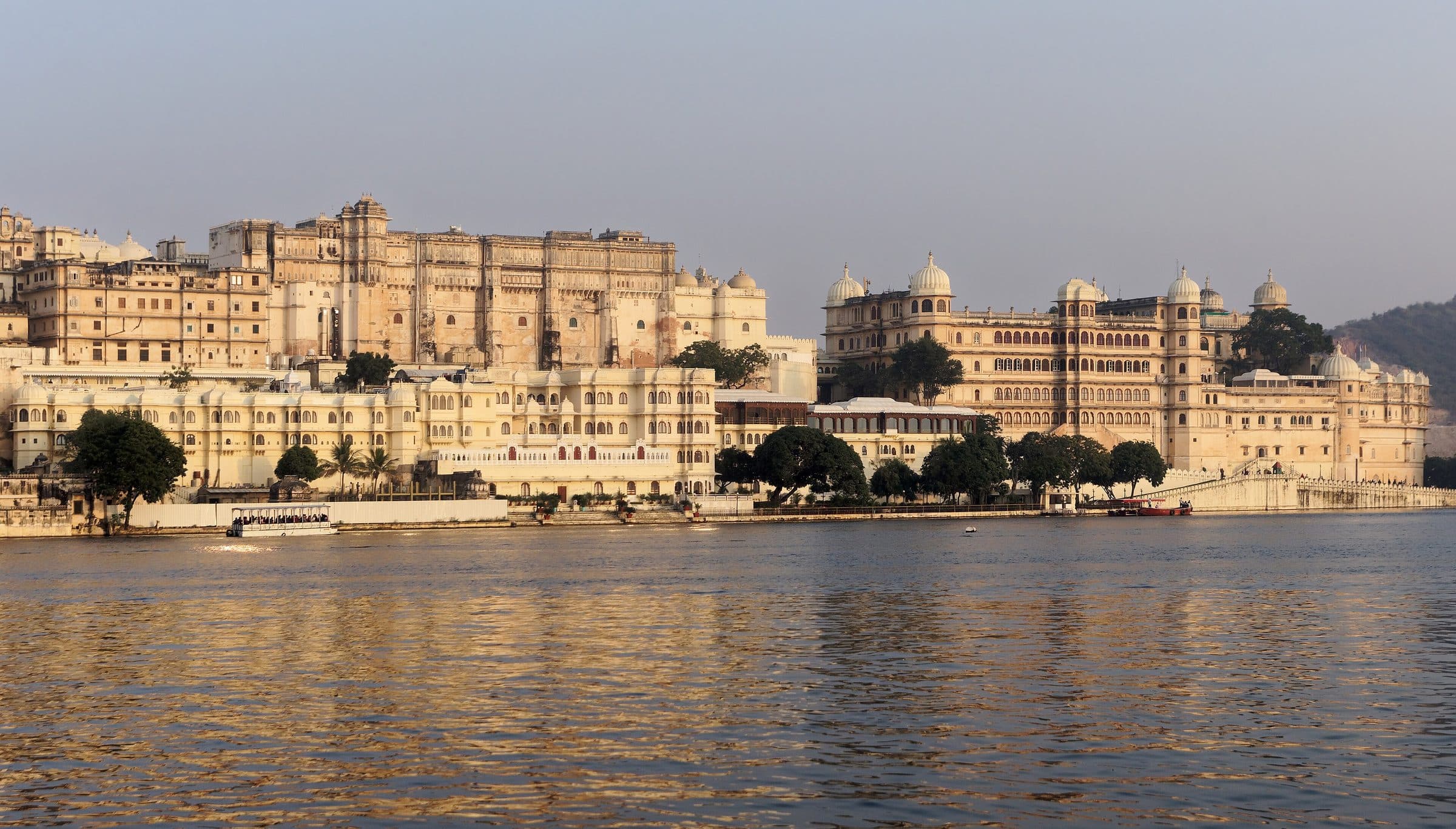
  • City Palace on Lake Pichola, Udaipur
    City Palace on Lake Pichola, Udaipur
    Photo: Jakub Hałun
    CC BY-SA 4.0 · Source · Resized and recompressed for the web
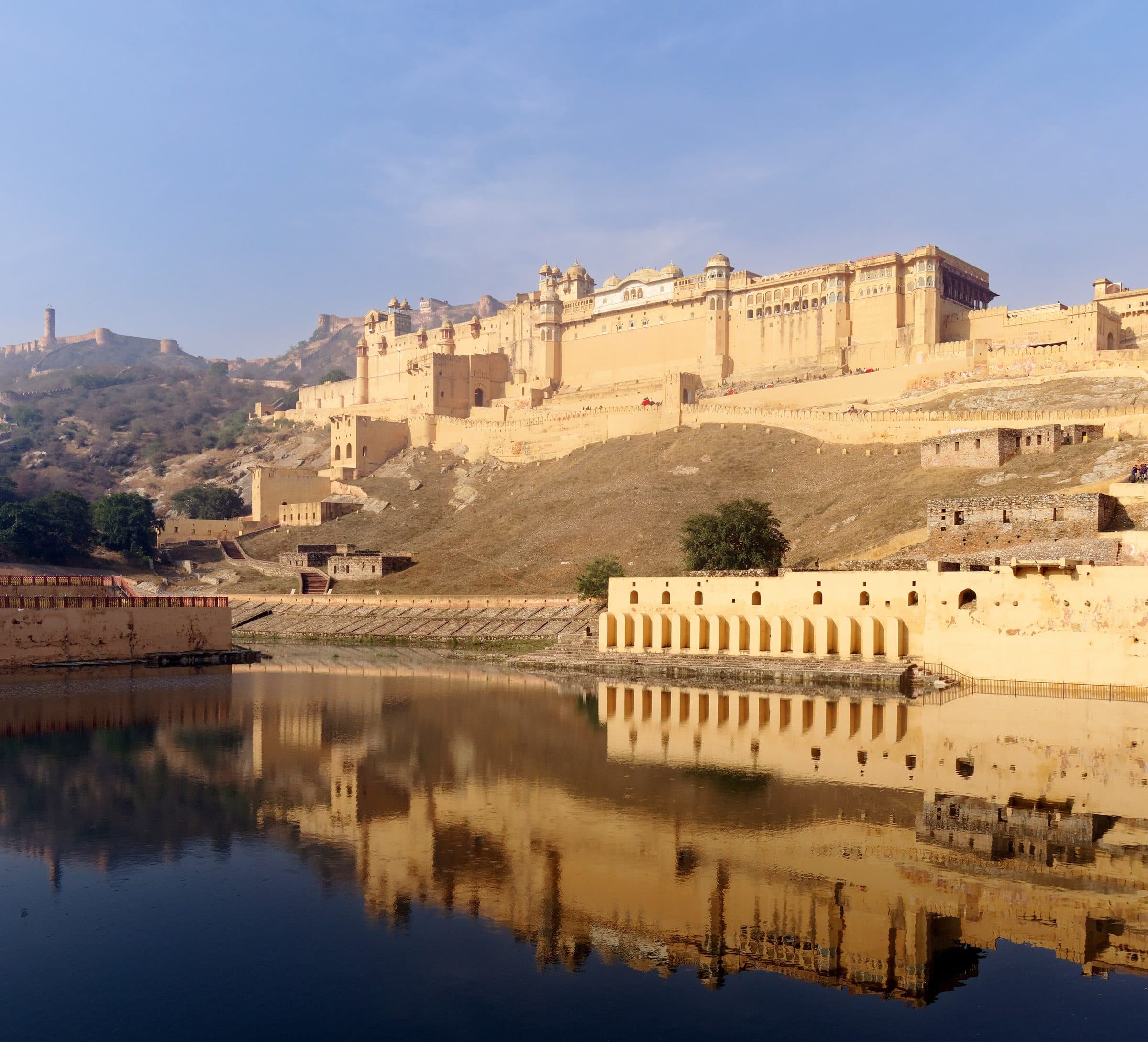
  • Amber Fort from Maota lake, Jaipur
    Amber Fort from Maota lake, Jaipur
    Photo: Jakub Hałun
    CC BY-SA 4.0 · Source · Resized and recompressed for the web
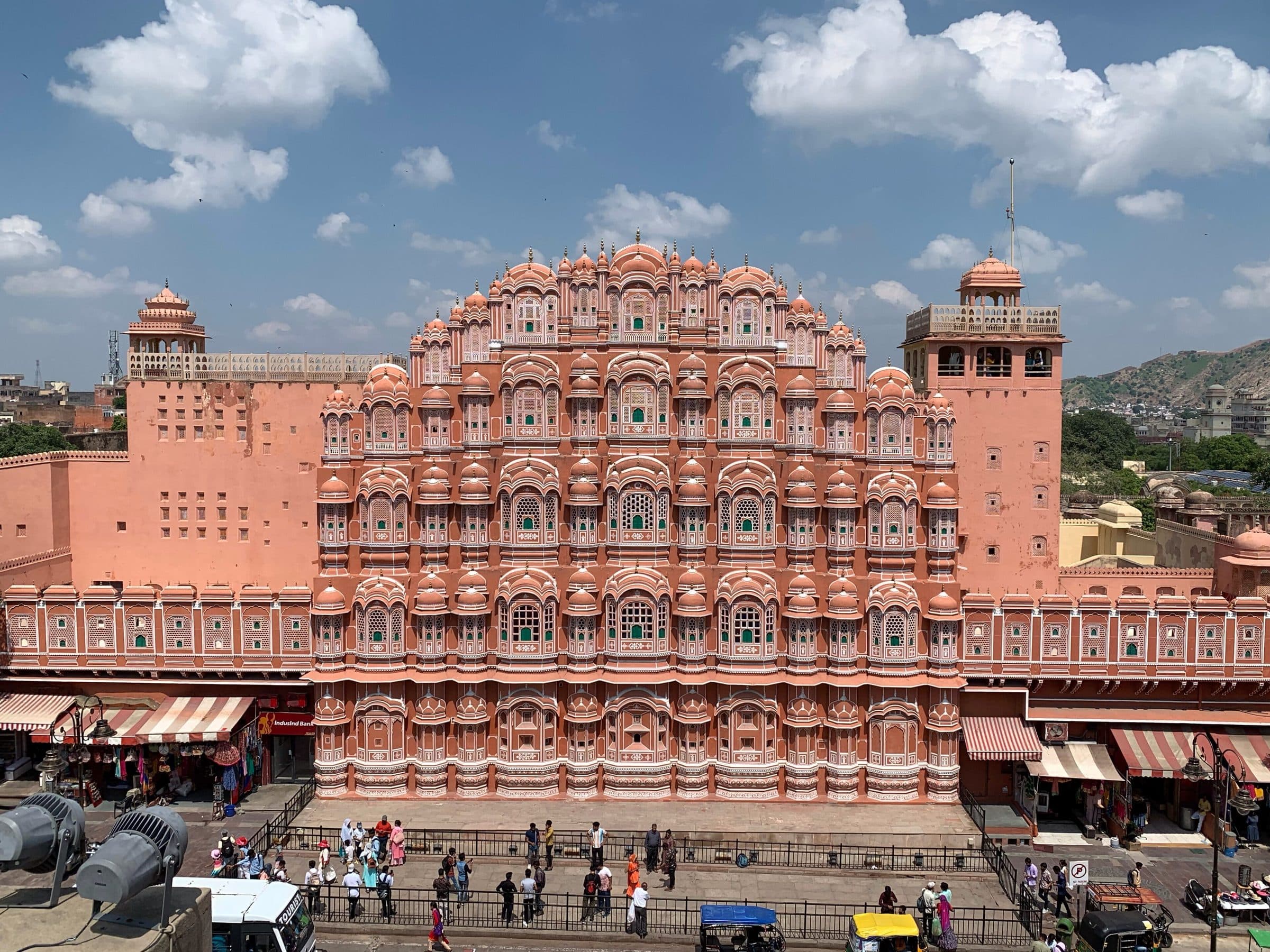
  • Hawa Mahal, Jaipur
    Hawa Mahal, Jaipur
    Photo: Chainwit.
    CC BY-SA 4.0 · Source · Resized and recompressed for the web
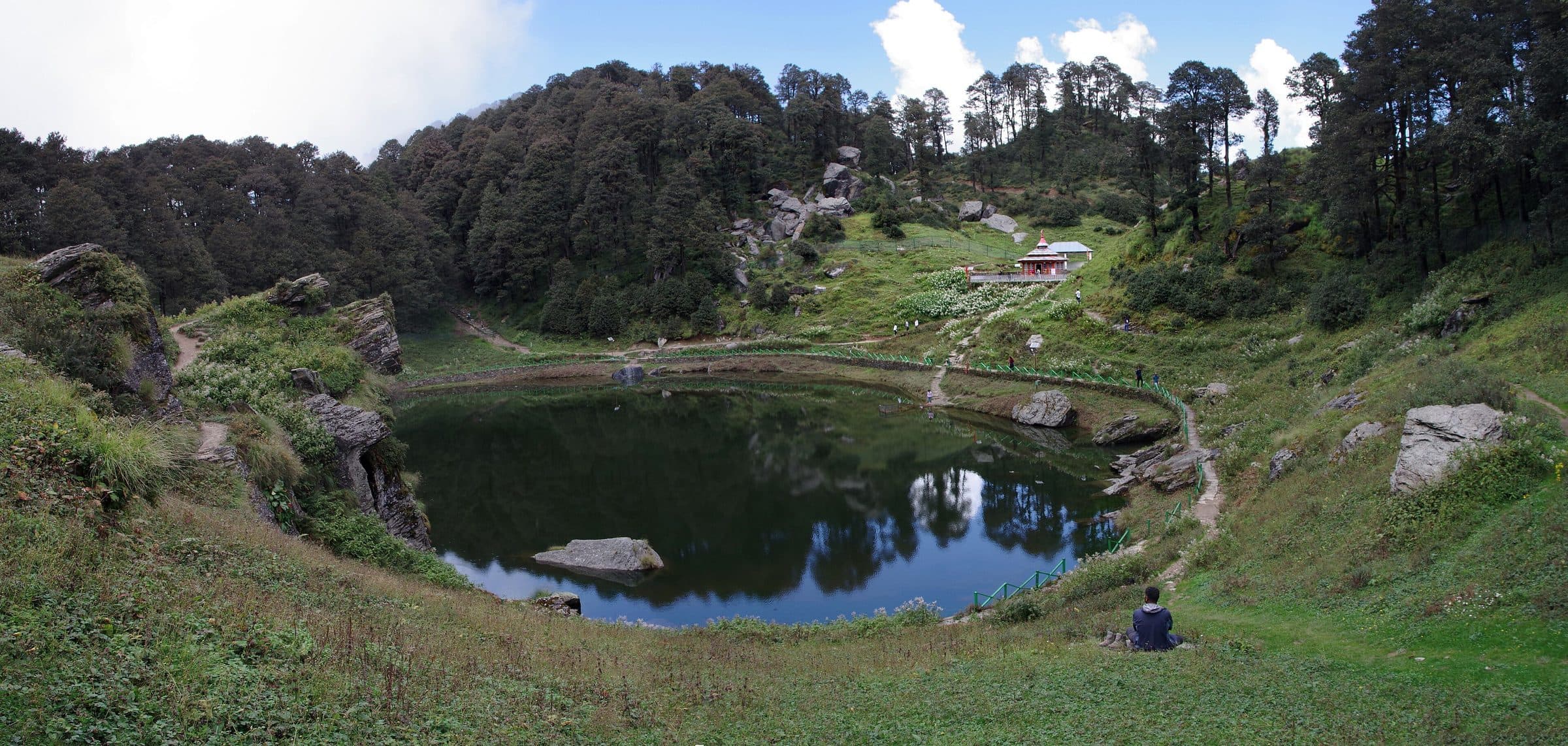
  • Serolsar lake near Jibhi
    Serolsar lake near Jibhi
    Photo: Phototraveller1
    CC BY-SA 4.0 · Source · Resized and recompressed for the web
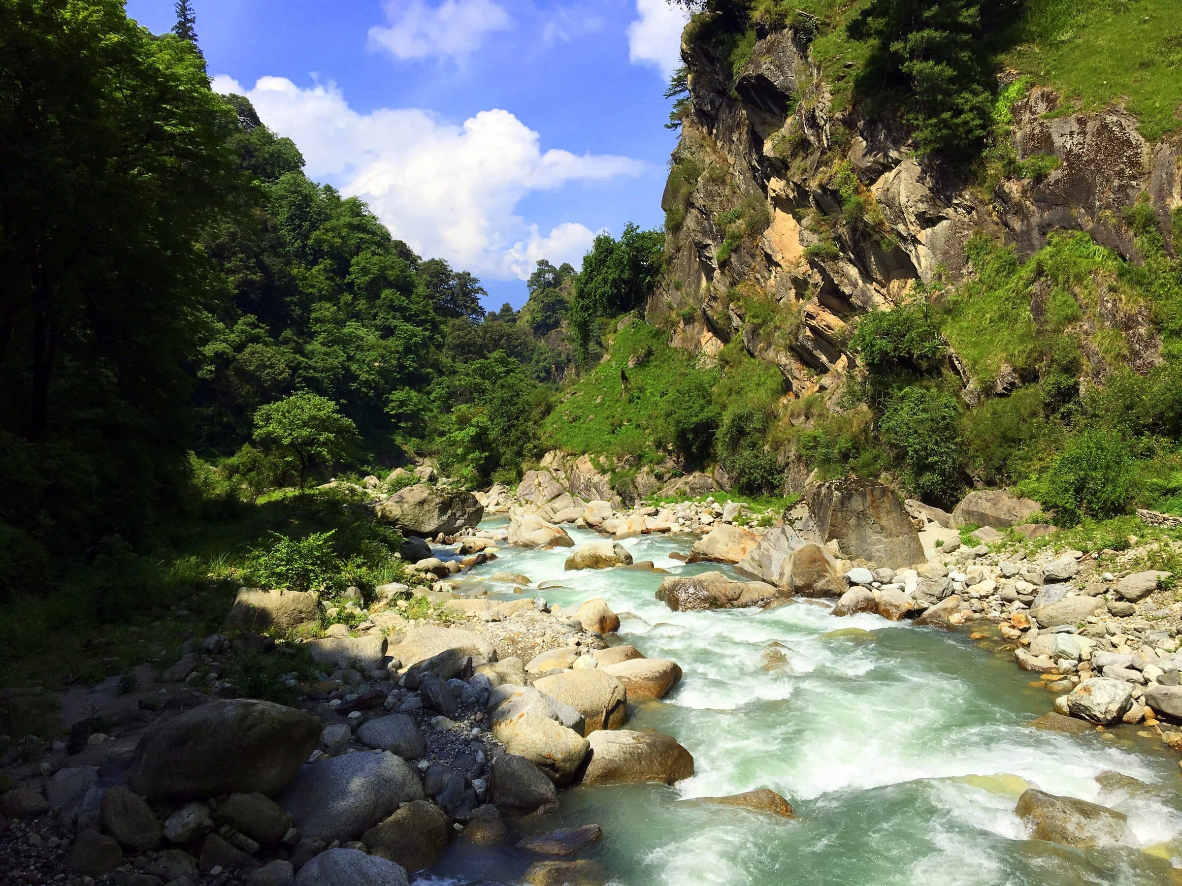
  • The Tirthan river, Great Himalayan National Park
    The Tirthan river, Great Himalayan National Park
    Photo: Ankitwadhwa10
    CC BY-SA 4.0 · Source · Resized and recompressed for the web
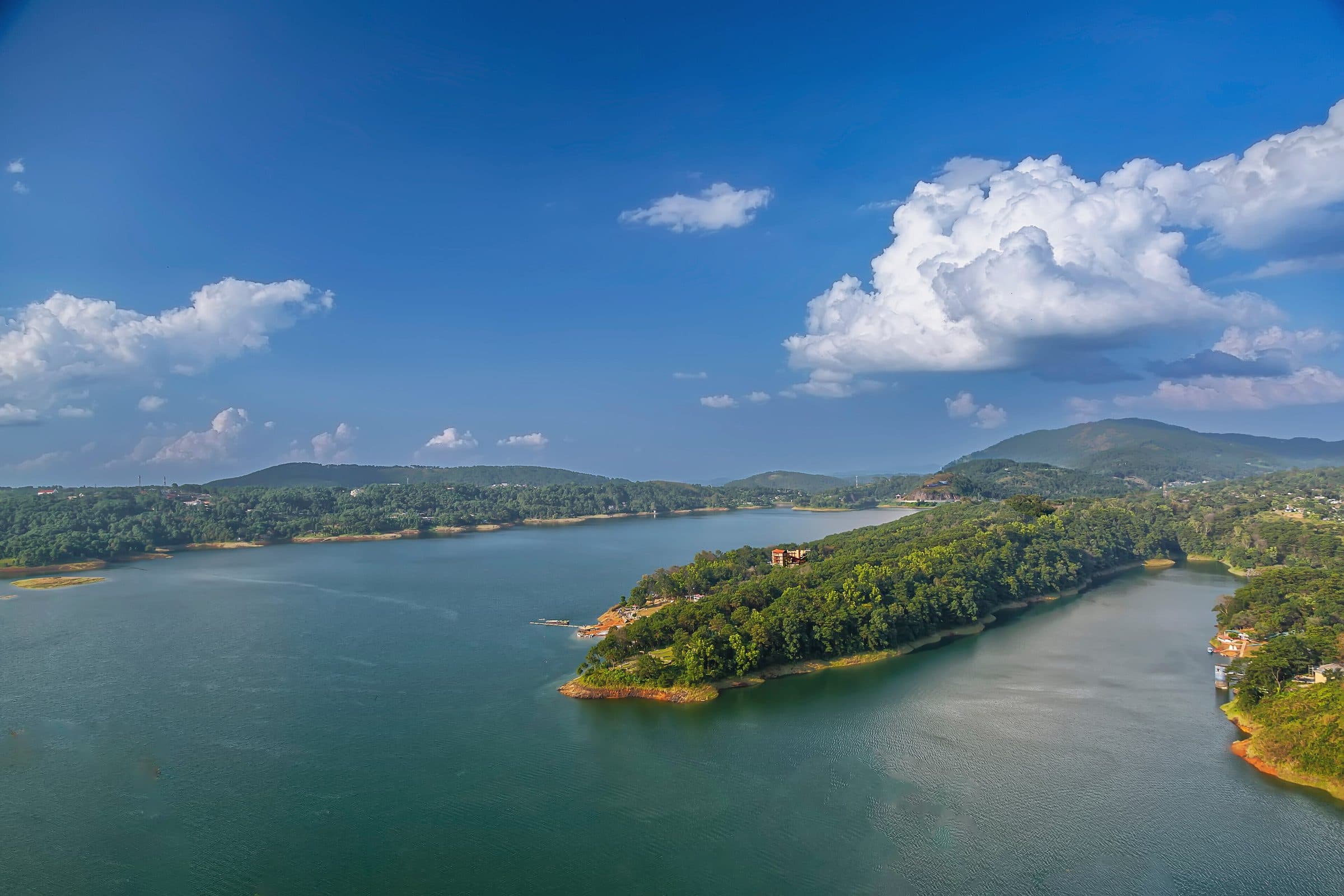
  • Umiam lake, Shillong
    Umiam lake, Shillong
    Photo: Prof. Vikramjit Kakati
    CC BY-SA 4.0 · Source · Resized and recompressed for the web
  • Relief behind the 3D journeys (heightmaps for every trip and for India)
    Photo: Mapzen terrain tiles (Tilezen), served from the AWS Open Data registry; elevation from SRTM (NASA), GMTED2010 (USGS) and ETOPO1 (NOAA)
    CC BY 4.0 (Mapzen); source data public domain · Source · Mosaicked, cropped to each route, clamped below sea level and stored as 8-bit heightmaps
  • Road geometry of every trip in the 3D journeys
    Photo: © OpenStreetMap contributors
    ODbL 1.0 · Source · Simplified for the web

Gear & Adventure’s own photos and video

  • Travellers at the Komic welcome gate: Gear & Adventure (used with permission)
  • A group at Chitkul: Gear & Adventure (used with permission)
  • A group at the Langza Buddha: Gear & Adventure (used with permission)
  • The Langza Buddha in snow: Gear & Adventure (used with permission)
  • Travellers on the Tempo Traveller roof: Gear & Adventure (used with permission)
  • A stream crossing in Spiti: Gear & Adventure (used with permission)
  • A clear night by the fire: Gear & Adventure (used with permission)
  • Dinner with the group: Gear & Adventure (used with permission)
  • A group stop in the hills: Gear & Adventure (used with permission)
  • Key Monastery: Gear & Adventure (used with permission)
  • Kainchi Dham: Gear & Adventure (used with permission)
  • Jibhi: Gear & Adventure (used with permission)
  • Nohkalikai falls: Gear & Adventure (used with permission)
  • Shikaras on Dal Lake: Gear & Adventure (used with permission)
  • Cover video: riding the Shyok road towards Nubra, Ladakh: Trilyt media library (used with permission)